Transportation History
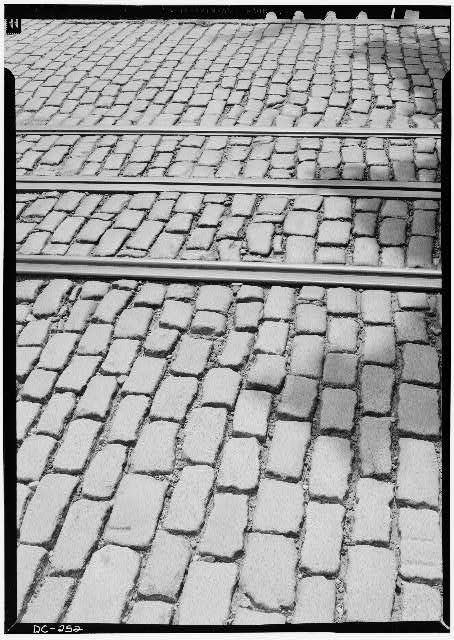 Streetcar rails in Washington, D.C. The streetcar system transformed Tenleytown from rural village to urban neighborhood. Library of Congress.
The history of Upper Northwest Washington, D.C. is intimately connected to the evolution of transportation—from Native American footpaths to wagon roads, streetcars, and finally the Metro. Each advance in transportation transformed the character of Tenleytown, AU Park, and surrounding neighborhoods.
The Early Roads
Native American Trails
Before European settlement, the Nacotchtank people maintained a network of trails connecting their villages, hunting grounds, and trading centers. These paths followed the natural contours of the land, often along ridgelines and stream valleys.
The Georgetown-Frederick Road
The road that would become Wisconsin Avenue began as a colonial-era route connecting: - Georgetown (the region's primary port) - Frederick, Maryland (and beyond to the frontier)
This road, also known as the Georgetown-Rockville Road, was the main artery through what would become Tenleytown.
River Road
River Road intersected with the Georgetown-Frederick Road at Tenleytown, creating a natural crossroads. This junction—at John Tennally's tavern—became the center of the village.
The Wagon Era (1790s-1890)
Agricultural Traffic
For nearly a century, the roads through Tenleytown carried: - Wagons hauling tobacco, wheat, fruits, and vegetables from outlying farms - Stagecoaches carrying passengers and mail - Cattle and livestock being driven to market
The Tavern Economy
John Tennally's tavern and others like it served travelers on these routes, providing: - Food and drink - Lodging - Blacksmith services - Stables for horses
The Streetcar Revolution (1890-1960)
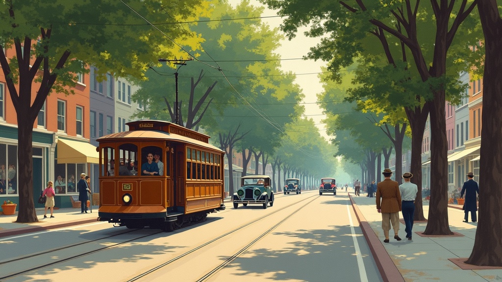 AI-generated artistic interpretation of a streetcar on a tree-lined suburban avenue in 1920s Washington, D.C. Not a historical photograph.
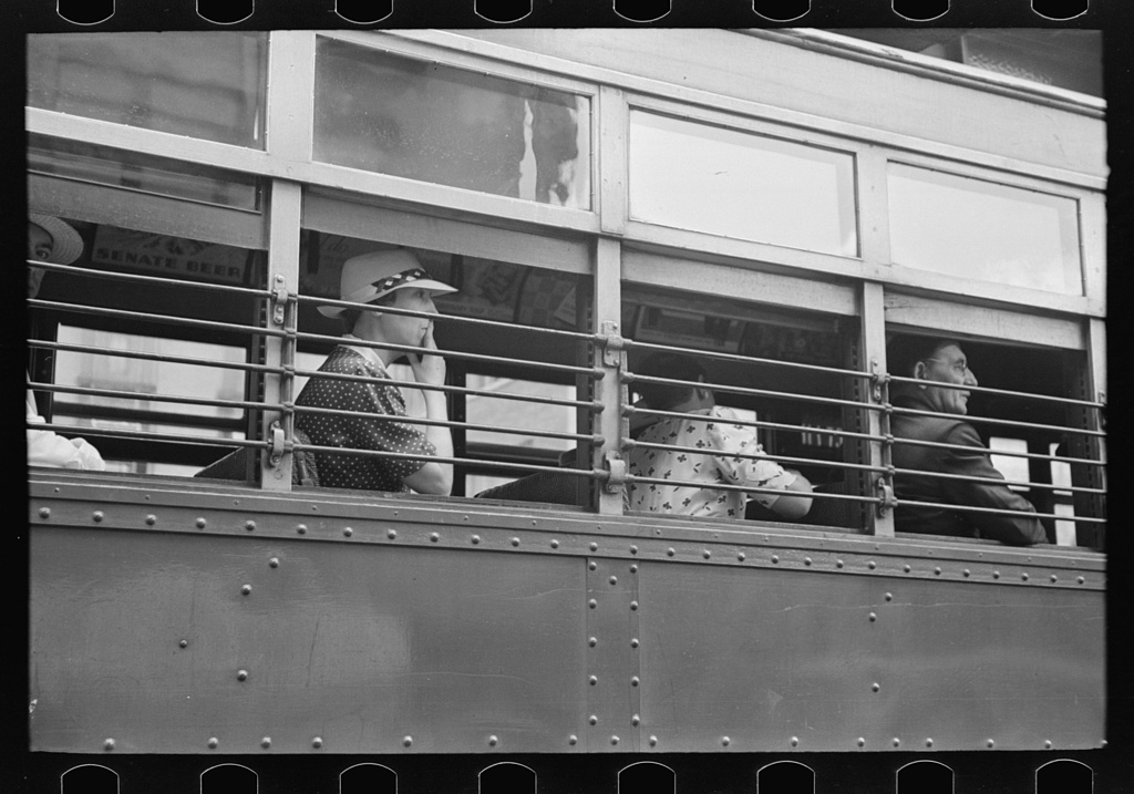 Passengers riding a Washington, D.C. streetcar, 1938. The streetcar was a lifeline connecting Tenleytown residents to downtown jobs and shops. Photo by Russell Lee, Library of Congress.
The Electric Trolley Arrives
The electric streetcar transformed Tenleytown from an isolated village into a connected suburb. Service began in 1890 on a route running: - Up from M Street NW in Georgetown - Up 32nd Street NW - Onto the Georgetown and Rockville Road (Wisconsin Avenue NW) - To the village of Tenleytown
The Tennallytown and Rockville Railway
In 1890, the Tennallytown and Rockville Railway received its charter and began building tracks from Tenleytown to: - Today's Friendship Heights - The Maryland state line
This extension opened Upper Northwest to development beyond Tenleytown.
How the Streetcar Worked
"Downtown the power for the streetcar was underground, but when it got to Georgetown the motorman stopped and attached the trolley line to a wire overhead, and continued up Wisconsin Avenue."
This unique hybrid system reflected the different infrastructure standards in different parts of the city.
The Tenleytown Car Barn
The Tenleytown Car Barn (also known as the Western Carhouse or Tennally Town Car Barn) was built around 1897 as the first car barn and powerhouse for the Tennallytown line.
The 1909 Tenleytown car barn on Wisconsin Avenue was demolished a few years after streetcar service ended.
Impact on the Community
The streetcar's impact on Tenleytown was profound: - Closed the distance between village and city - Residents could travel to the city for work, school, shopping, and pleasure - Many Tenleytown residents worked as motormen and conductors on the trolleys - White middle-class subdivisions appeared by the 1920s as the area became accessible
The End of an Era
On January 3, 1960, streetcars made their last runs on Wisconsin Avenue and two other major lines.
The end of streetcar service in Washington marked a turning point: - Streetcars in Washington, D.C. transported people from 1862 until 1962 - The introduction of electric streetcars in the late 19th century had opened development of the hilly terrain north of the old city - Their replacement by buses changed the character of Wisconsin Avenue
The Automobile Age (1920s-Present)
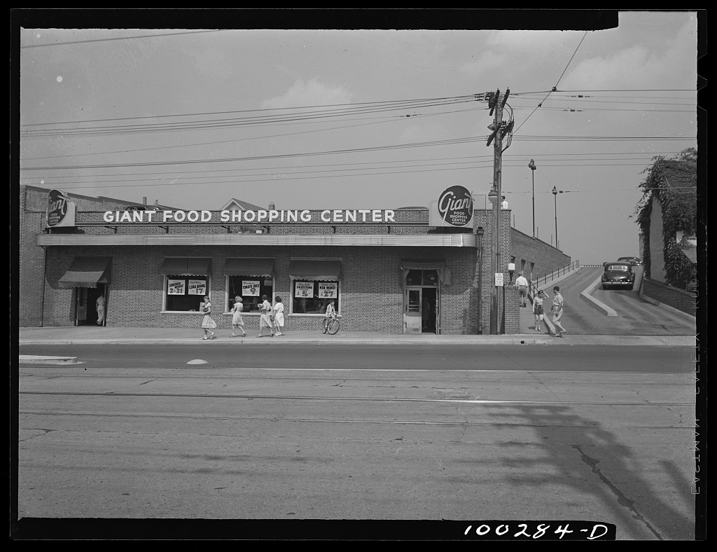 The Giant Food shopping center on Wisconsin Avenue, 1942, showing the ramp to the rooftop parking lot—a sign of the automobile's growing importance. Photo by Marjory Collins, Library of Congress.
The Sears Store and Parking
When Sears Roebuck opened its Tenleytown store in 1941, it featured a 300-car rooftop parking lot—a revolutionary concept that recognized the growing importance of automobile travel.
The store's design reflected a decade of research into the impact of the car on consumer buying patterns.
Road Improvements
Throughout the 20th century, Wisconsin Avenue was widened and improved to handle increasing automobile traffic, fundamentally changing the character of Tenleytown's main commercial street.
The Metro Era (1984-Present)
Building the Red Line
The Washington Metro system was planned in the 1960s, with service to Tenleytown anticipated as part of the Red Line extension into Northwest DC.
When Metro announced in 1968 that a subway stop would be located in Tenleytown, rental prices immediately went up. Streets near the stop were blocked off for about five years during construction.
Tenleytown Station Opens
The Tenleytown station opened on August 25, 1984, as part of a 6.81-mile segment that also included: - Friendship Heights - Bethesda - Medical Center - Grosvenor
Station Naming Controversy
The station's name went through several iterations: - Metro originally planned to name the stop "Tenley Circle" (one block south) - Citizens led by Harold Gray convinced the Metro Board to call it "Tenleytown" instead - In May 1989, the name was changed to "Tenleytown-AU" to reflect proximity to American University - The $63,500 cost of changing signs was paid by the District government - Several community groups objected to the name change
Station Design
The Tenleytown-AU station features: - The four-coffer arch design found at most underground stations on the western Red Line - One of 11 stations constructed using rock-tunneling methods - Located more than 100 feet (30 m) below the surface - Two entrances on either side of Wisconsin Avenue meeting at an upper mezzanine - Three long escalators traveling down to fare control
Ridership
Since its opening, more than 92 million customer trips have been made through Tenleytown-AU station.
The Bus Network
Today's bus network continues to serve Upper Northwest: - Multiple Metrobus routes run along Wisconsin Avenue - Connections to the Metro at Tenleytown-AU - Service to surrounding neighborhoods and into Maryland
Looking Forward
The Wisconsin Avenue Development Framework (finalized February 2024) envisions continued transit-oriented development along the corridor, with: - Expanded housing near Metro stations - Improved pedestrian and bicycle infrastructure - Maintained focus on public transportation access
Timeline Summary
| Year | Event |
|---|---|
| Pre-1790 | Native American trails |
| 1790s | John Tennally's tavern serves wagon traffic |
| 1890 | Electric streetcar service begins |
| 1897 | Tenleytown Car Barn built |
| 1941 | Sears opens with rooftop parking |
| 1960 | Last streetcar runs on Wisconsin Avenue |
| 1968 | Metro announces Tenleytown station |
| 1984 | Tenleytown Metro station opens |
| 1989 | Station renamed Tenleytown-AU |
| 2024 | Wisconsin Avenue Development Framework adopted |